%20PopEx%20Logo_TM_Black.png?width=200&height=78&name=(hi-res)%20PopEx%20Logo_TM_Black.png)

When comparing the accuracy of population data for major global cities, it is essential to consider...
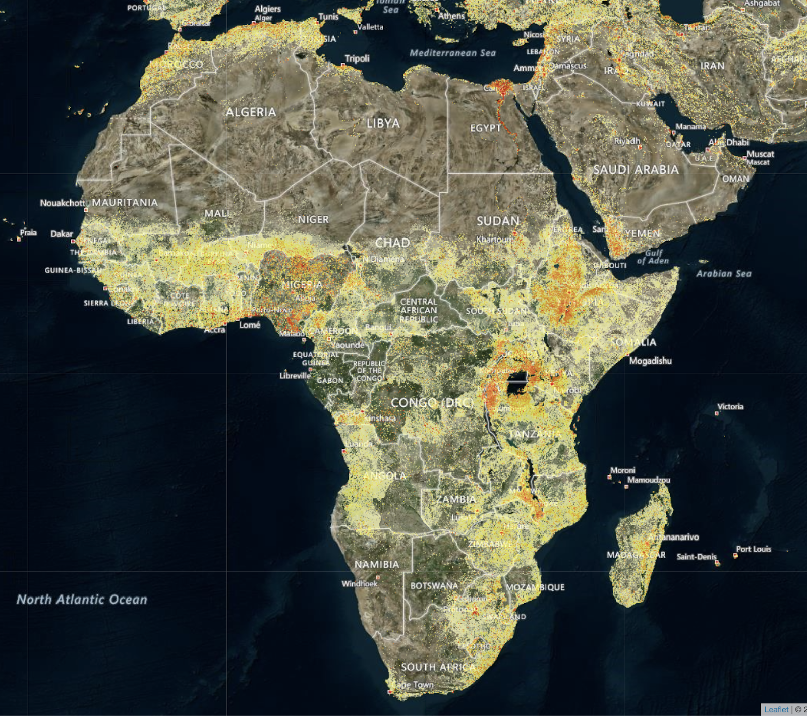
When evaluating population datasets, two primary sources often come to the forefront: Landscan population datasets and traditional census population datasets. Each offers unique strengths and applications, shaping how data is leveraged in planning and decision-making. Landscan, developed by the Oak Ridge National Laboratory, provides a detailed, spatially distributed global population model based on a combination of satellite imagery, road networks, and other data sources. This approach allows for population estimates at a much finer spatial resolution, making it highly valuable for applications needing precise locational data, such as emergency response, urban planning, and environmental monitoring.
In contrast, traditional census datasets are typically collected by national governments and provide comprehensive demographic information at regular intervals, such as every ten years. These datasets are considered the gold standard for demographic statistics, offering detailed insights into population characteristics like age, gender, and income levels. Census data is crucial for policy-making, public administration, and social research because of its methodological rigor and extensive coverage. However, the inherent lag between data collection periods can be a limitation, especially in rapidly changing environments.
Comparatively, while census data provides a depth of demographic details, Landscan’s strength lies in its ability to offer up-to-date population estimates at high spatial resolution. This difference makes Landscan datasets more suited for dynamic applications requiring current population distributions, such as disaster preparedness and real-time resource allocation. On the other hand, traditional census data’s comprehensive demographic insights are indispensable for long-term strategic planning and socio-economic analyses. Ultimately, the choice between Landscan and traditional census data hinges on the specific needs of the application, balancing the demand for spatial precision and demographic depth.
Which one will be most useful to you?
Sign up for a free trial here!